Interstate 80 - Vital Bridge Inspections with Stantec
expand_more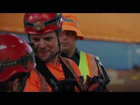
1K subscribers
Billions of tons of freight are transported annually on over 70 interstate highways and more than 4 million miles of roads across the USA. Interstate 80 is one of these roadways which connects California, Nevada, and Utah as a major trucking route; supplying millions of Americans with the goods and services they need daily.
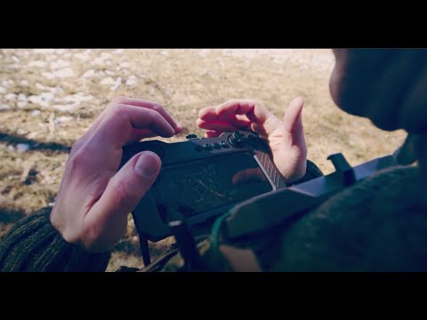
In this video, see how a leading global engineering firm– Stantec, uses Skydio drones and 3D mapping to inspect vital bridges on Interstate 80 to help the Nevada Department of Transportation maintain their roadways. With Skydio drones, Stantec can collect the data the Nevada Department of Transportation needs of their critical infrastructure, efficiently address maintenance needs, and limit interstate closures for roadwork.
Learn more about Skydio’s bridge inspection drones: https://www.skydio.com/bridge-inspection
#Skydio #drones
vid:199108
Comments0
unfold_more

11M views 3 months ago

111M views 8 months ago

283 views
8 months ago

178 views
8 months ago
1 views
1 year ago

1 views
1 year ago
1 views
1 year ago

1.7M views 1 year ago

518K views 3 years ago

7.7M views 4 years ago

109M views 4 years ago

15M views 4 years ago

21M views 5 years ago

15M views 6 years ago

9M views 7 years ago

11M views 11 years ago

57M views 11 years ago

167M views 13 years ago

58M views 15 years ago

41M views 18 years ago
keyboard_arrow_left
navigate_next


7.7K views 3 weeks ago

775K views 5 years ago

39K views 9 months ago

15K views 11 months ago

207K views 1 year ago

59K views 4 years ago

16K views 1 year ago

6.7K views 8 months ago

9K views 1 year ago

18K views 3 years ago

133K views 1 year ago

5K views 1 year ago

19K views 1 year ago

130K views 6 years ago

24K views 7 years ago

187 views 2 weeks ago

34K views 7 years ago

11K views 1 year ago