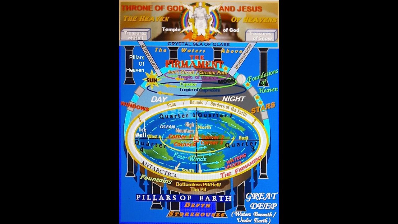
1) What do all maps project? All maps project a coordinate system onto a flat surface. The most commonly used coordinate system is the geographic coordinate system, which models the Earth as a sphere or ellipsoid. This requires a predetermined spherical datum to tie the coordinate system to the actual earth. Most common is wgs84. This system uses a spherical latitude and longitude system known as the graticule to specify locations on the Earth’s surface. Different map projections then transform these spherical coordinates into a two-dimensional representation, each with its own set of compromises regarding area, shap
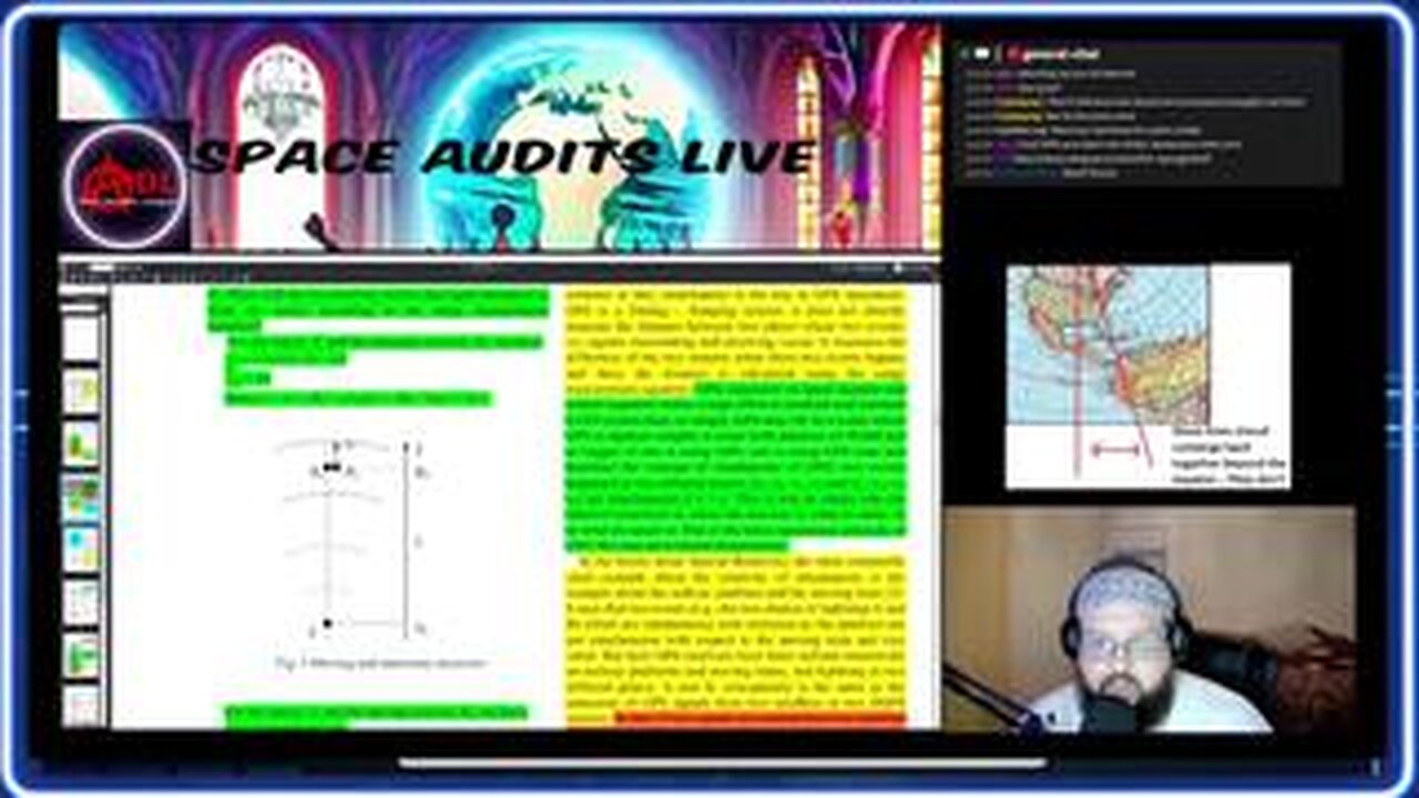
Quick Stream on GPS and the Geodesic Coordinate System We've all been told GPS accounts for relativistic effects (time dilation, invariance of c, etc.).
As it turns out that's not the case it al. GPS uses a very specific equation and coordinate system in order for it to be accurate down to the millimeter.
The equation accounts for a variance of c, relative to the GPS signal receiver velocity and the coordinate system is ECI (Earth Centered Inertial Frame) aka stationary, non-rotating.
I'll be presenting on the Anti-Disinformation League a live presentation of Space Audits #08 How Math Became Reality ( Link: https://youtu.be/x4w2Jczw2vs ) featuring new slides, further clarifications, and Q & A. Everything you need to know about the fraud of relativity theory will be contained in this stream. Einstein: “If one of my three central proofs were to be wrong, my Entire Theory would collapse: Advance of the perihelion precession of Mercury, deflection of Light by gravitational field, gravitational redshift." We be examining these three so-called "proofs" of the theory as well ass additional observations and experiments that supposedly give agreement with relativistic predictions. New presentation download link: Available Soon™ Hosted by Anti-Disinformation League Telegram: https://t.me/AntiDisinformation Presentation: https://t.me/AntiDisinfoLeague/1239/1573